The Long Dark

The Long Dark

236 人が評価
The Long Dark Topographic Maps
作者: delta
This guide is dedicated to providing high quality topographic and aerial maps for the different regions in The Long Dark. All the images on this guide are thumbnails as uploading the full sized images made it impossible to load the entire page. Simply click the links below each image to get the full resolution map. Each map has a pixel resolution of 0.5m x 0.5m, and each map grid is 100m x 100m. I will be updating each map with Points of interest over time.

Each map was generated using several hundred (and in some cases over a thousand) aerial in-game screenshots. These screenshots were then meticulously reconstructed into 3D point clouds using SFM photogrametry techniques. Each region takes between 10 to 40 hours to complete from start to finish.

A big thanks to WulfMarius[github.com] for creating his tree removal mod. Without it, the contours would not be as smooth in heavily forested areas. If you see any errors on this guide, please let me know in the comments below.
2
2
4
2
3
   
アワード
お気に入り
お気に入り
お気に入りから削除
Broken Railroad
Aerial and Contour Map
Topographic Map

Aerial Map
Contour Map
Coastal Highway
Aerial and Contour Map
Topographic Map

Aerial Map
Contour Map
Crumbling Highway
Aerial and Contour Map
Topographic Map

Aerial Map
Contour Map
Desolation Point
Aerial and Contour Map
Topographic Map

Aerial Map
Contour Map
Forlorn Muskeg
Aerial and Contour Map
Topographic Map

Aerial Map
Contour Map
Mountain Town
Aerial and Contour Map
Topographic Map

Aerial Map
Contour Map
Mystery Lake
Aerial and Contour Map
Topographic Map

Aerial Map
Contour Map
Pleasant Valley
Aerial and Contour Map
Topographic Map

Aerial Map
Contour Map
Ravine
Aerial and Contour Map
Topographic Map

Aerial Map
Contour Map
Timberwolf Mountain
Aerial and Contour Map
Topographic Map

Aerial Map
Contour Map
Winding River
Aerial and Contour Map
Topographic Map

Aerial Map
Contour Map
64 件のコメント
Flaming Furball 2023年12月31日 14時19分 
Hey Delta, I'm making a mod that replaced the in-game maps with better ones. I'd like to use your maps for this, do I have your permission to do so? I'll share a link to the mod when I release it, if you'd like.
EJ 2023年7月5日 2時31分 
Thanks for these maps they're great, especially as an extremely spoiler-free way to navigate! I'm considering attempting to make a 'real-life' style map (e.g. USGS / Canada NTS) and wondered if you have vector versions of the contour plots? (pdf/svg/dxf or whatever.) Thanks again, and I hope your grad program's going well, been there and I know it can get painful, but keep going!
W3stBoy(FAZE UP!) 2022年9月21日 4時46分 
Good!It looks convenient。:coffeeTLD::coffeeTLD::coffeeTLD:
delta  [作成者] 2022年6月17日 23時20分 
Sometimes you just have to GIS the hell out of it.
Finnder 2022年6月17日 18時31分 
I've never even played this game; but this is literal A+ content.

:KSmiley:
stmSantana 2022年1月11日 5時37分 
I am working on some new maps as your follower.
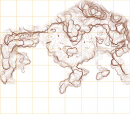
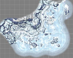
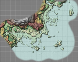
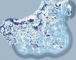
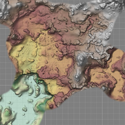
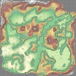
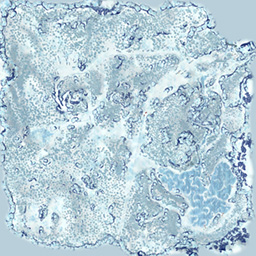
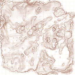
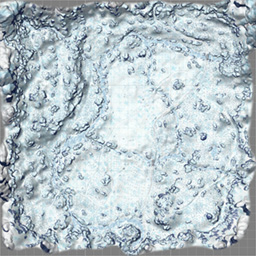
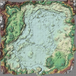
https://steamproxy.net/sharedfiles/filedetails/?id=2669977791
Black Crows Atris 2021年6月26日 2時20分 
Thank you, that info is much appreciated!
delta  [作成者] 2021年6月25日 11時21分 
The contours are 1 map unit. The actual length of a single map unit is not very well defined and are inconsistent over the entire map as well as between interior and exterior cells, but for exteriors, the closest units would be meters.
Black Crows Atris 2021年6月25日 2時18分 
Hey there again! Do you remember what the height difference between each step?
Black Crows Atris 2021年6月17日 4時14分 
Ah haha I see, thanks! No worries. I'm currently manually painting heightmaps for these based on your topo maps, to create 3D maps from them :D